
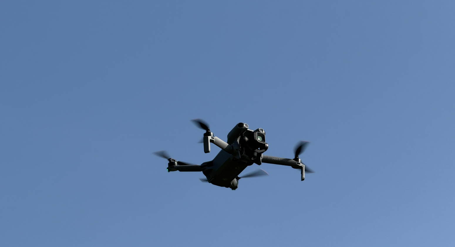
Unlock exciting views with our drone operation services
Your business at new heights
[ services ]●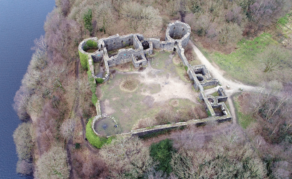
Drone Photography & Videography
Drones have transformed how we
capture landscapes, architecture and events by offering perspectives that were once possible only from aircraft or tall structures.
If you’re an estate agent, event organiser, or responsible for your marketing material, consider the capture of high-resolution aerial photos or 4K video content.
Drone Inspections
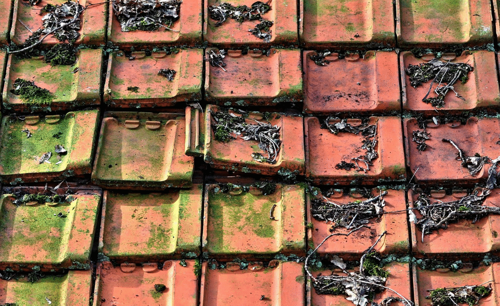
Roof inspections use drones to capture high-resolution images quickly and safely, reducing the need for ladders or scaffolding and minimising disruption.
They are especially useful for assessing large, complex or hazardous buildings, identifying issues such as missing tiles, slipped flashing, ponding water, vegetation growth and insulation defects.
Drone Site Surveying & Mapping
Site surveying and mapping involves the systematic collection, analysis and visualisation of spatial data to define the physical characteristics, boundaries and features of a location.
The data measures elevations, distances and positions. Mapping specialists process those measurements into accurate plans, topographic maps and digital terrain models that support design, construction, environmental assessment and land management.
[Case Studies]-
![Aerial view of a Lidl supermarket with a parking lot in front, several cars parked, and a few people near the entrance. Surrounding roads and green areas are visible.]()
Dereham
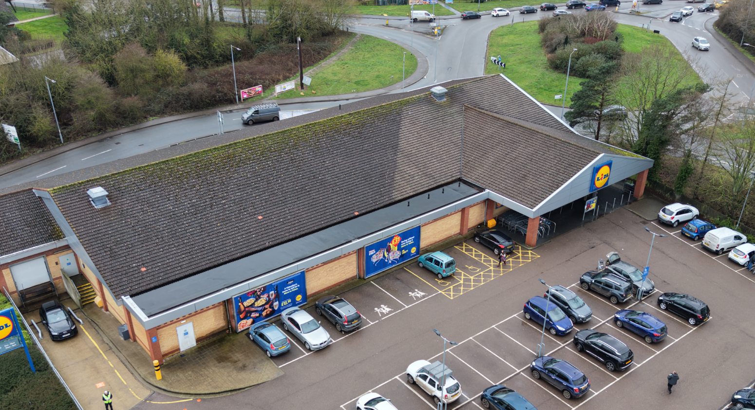
Lorem ipsum dolor sit amet, consectetur adipiscing elit. Suspendisse consequat metus sed urna gravida hendrerit. Morbi ac enim in mi sagittis elementum. Nulla euismod risus nec leo fringilla euismod.
[Name], [Role]
[ FAQ ]●-
Yes, to operate commercially.
-
Drone operators have Operator IDs, Flyer IDs, and hold CAA A2CofC and GVC certificates.
-
Yes
Drone operators are commercially insured with public liability up to £1,000,000.
-
Drone operators hold CAA Operational Authorisation, which is required for commercial flights.
This enables the operator to carry out operations in the Specific Category (requires a risk assessment to demonstrate that the operator will be able to carry out the proposed operation safely and legally).
-
No, there are restrictions and laws.
-
Paying for a professional drone operator in the UK ensures legal compliance with CAA regulations, guarantees safety, and provides high-quality, insured aerial imagery.
It doesn’t matter how large or how small a drone might be, it can still cause serious damage if it hits structures, other vehicles, aircrafts or people.
Drone operators manage risks, obtain necessary permits for restricted areas, and deliver superior results for construction, inspection, or marketing.
[ make enquiry ]●Interested in working together?
Fill out some information and we will be in touch shortly.
We can’t wait to hear from you!